Parliament Hill
Parliament Hill is a limestone outcrop with a gently sloping top that was originally covered in a primeval forest of beech and hemlock.
For hundreds of years, the hill was a landmark on the Ottawa River for First Nations people and later for European traders, adventurers, and industrialists, marking their journeys to the interior of the continent.
After the founding of Ottawa, which was then called Bytown, the builders of the Rideau Canal sited a military base on the hill,naming it Barrack Hill. A large fortress was planned for the site following the War of 1812 and the Upper Canada rebellion but the threat of an American invasion subsided and the project was scrapped.
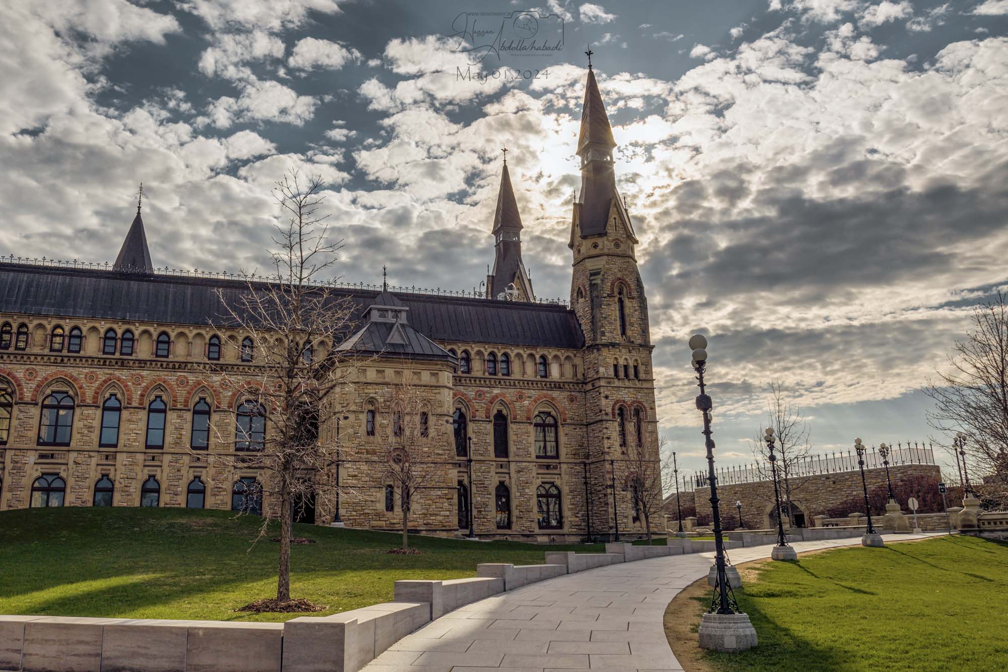

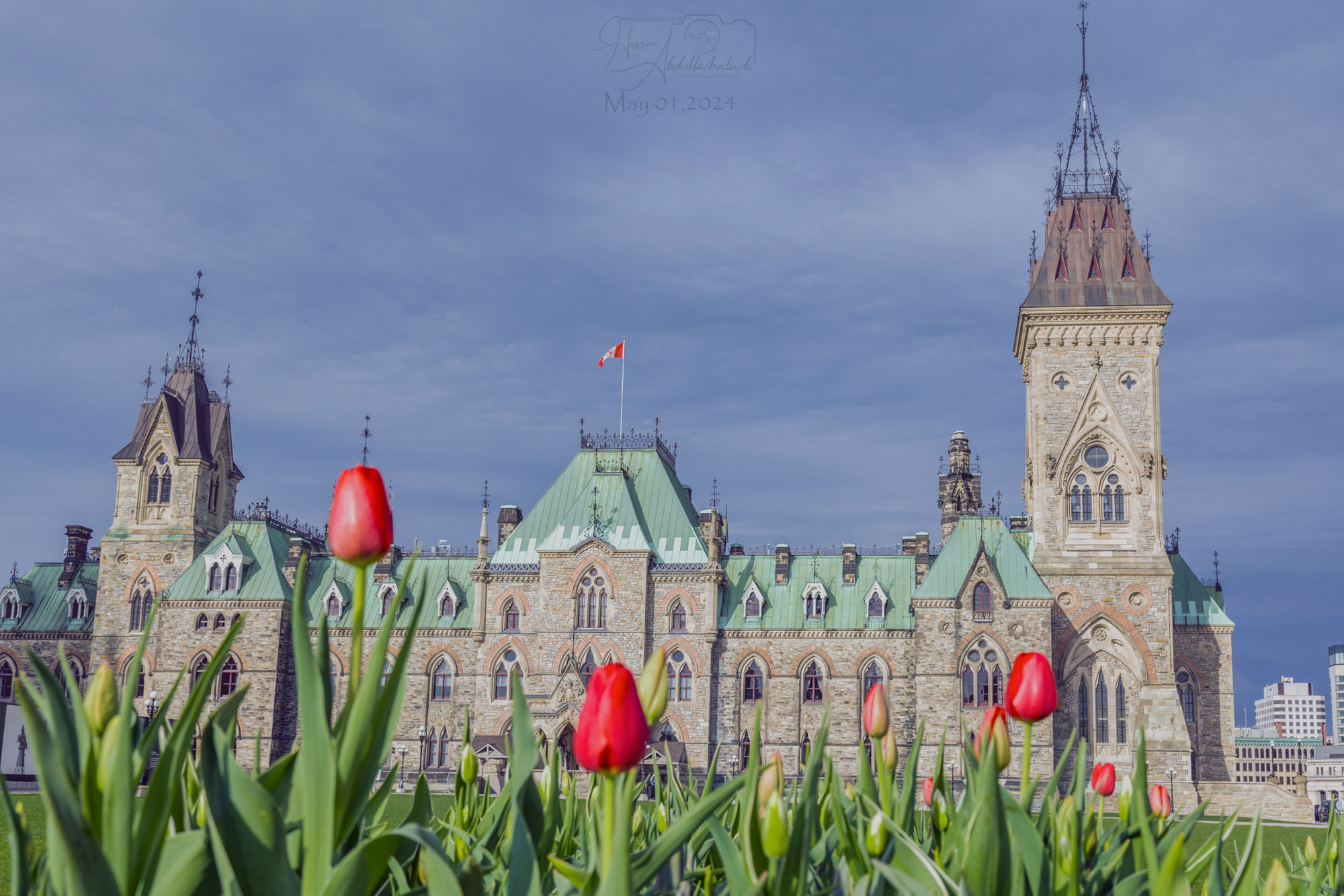
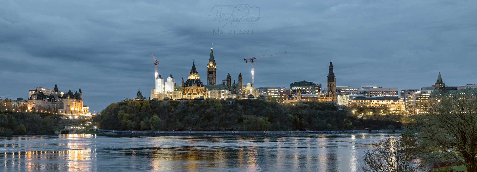
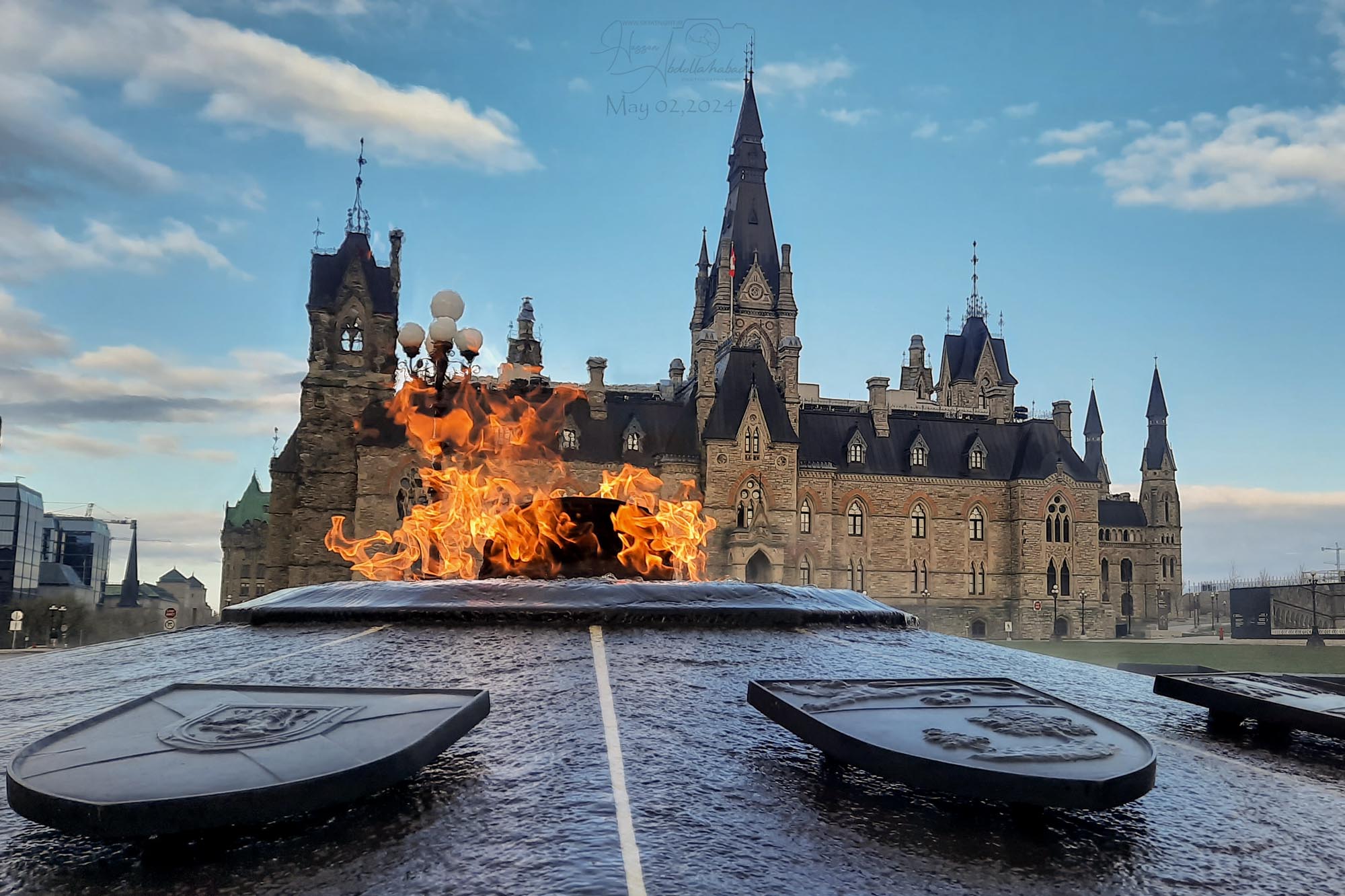
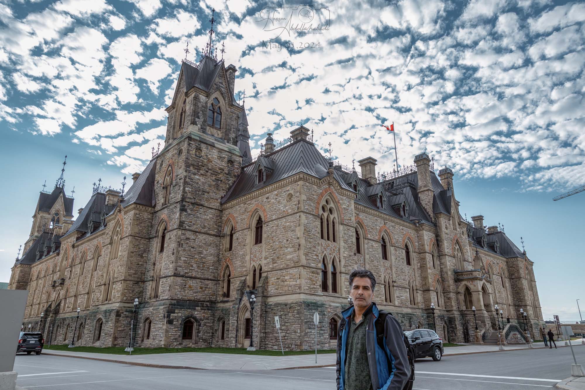
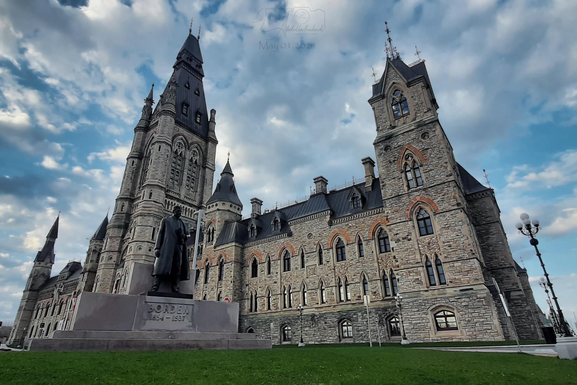
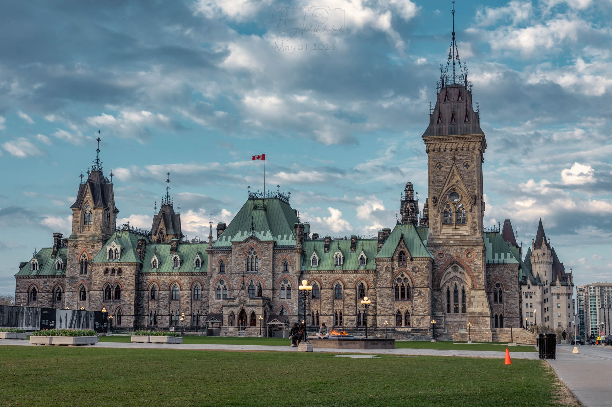
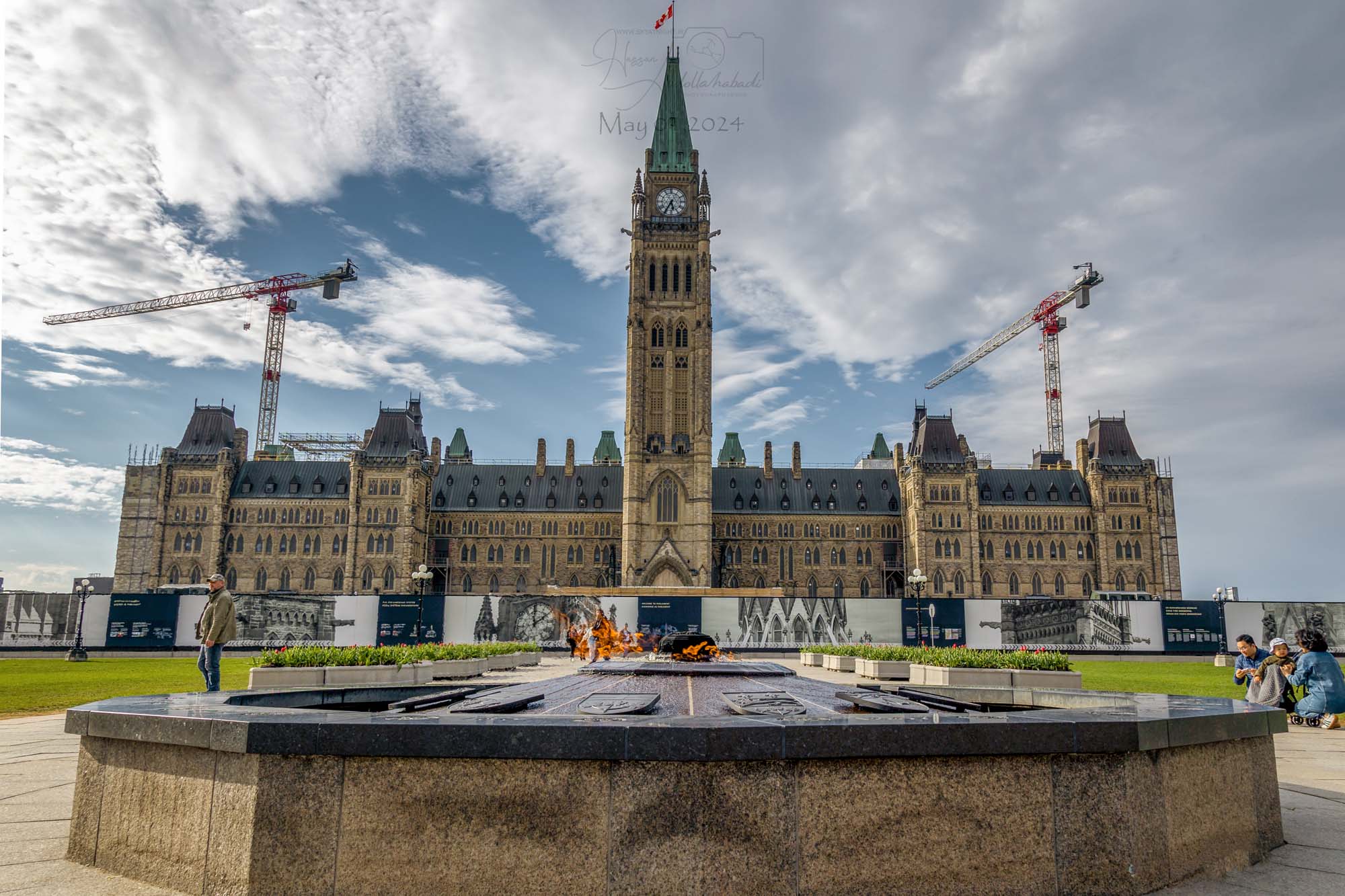
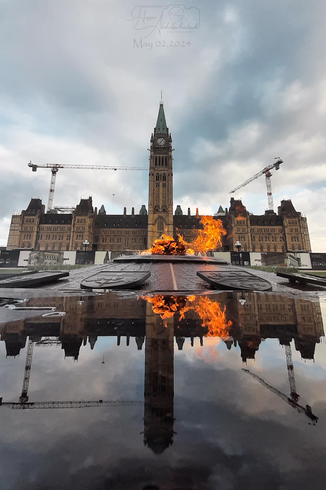
Parliament Hill (French: Colline du Parlement) is an area of Crown land on the southern bank of the Ottawa River that houses the Parliament of Canada in downtown Ottawa, Ontario. It accommodates a suite of Gothic revival buildings whose architectural elements were chosen to evoke the history of parliamentary democracy. Parliament Hill attracts approximately three million visitors each year.
Development of the area, which in the 18th and early 19th
centuries[citation needed] was the site of a military base, into a governmental precinct began in 1859 after Queen Victoria chose Ottawa as the capital of the Province of Canada. Following several extensions to the Parliament and departmental buildings, and a fire in 1916 that destroyed the Centre Block, Parliament Hill took on its present form with the completion of the Peace Tower in 1927. In 1976, the Parliament Buildings and the grounds of Parliament Hill were designated as National Historic Sites of Canada. Since 2002, an extensive $3 billion renovation-and-rehabilitation project has been underway throughout the precinct’s buildings that is expected to be completed after 2028.

تپه پارلمان
تپه پارلمان، برآمدگی آهکی با شیب ملایمی است که در ابتدا با جنگلی کهن از درختان راش و شوکران پوشیده شده بود
این تپه برای صدها سال، نقطه عطفی در رودخانه اتاوا برای مردمان بومی و بعدها برای بازرگانان، ماجراجویان و صنعتگران اروپایی بود که سفرهای آنها را به داخل قاره مشخص میکرد
پس از تأسیس اتاوا، که در آن زمان بایتاون نامیده میشد، سازندگان کانال ریدو یک پایگاه نظامی در این تپه قرار دادند و آن را پادگان هیل نامیدند. پس از جنگ ۱۸۱۲ و شورش کانادای علیا، قرار بود یک قلعه بزرگ برای این مکان ساخته شود، اما تهدید حمله آمریکا فروکش کرد و این پروژه لغو شد
تپه پارلمان منطقهای از اراضی سلطنتی در کرانه جنوبی رودخانه اتاوا است که پارلمان کانادا را در مرکز شهر اتاوا، انتاریو، در خود جای داده است. این تپه مجموعهای از ساختمانهای احیای گوتیک را در خود جای داده است که عناصر معماری آنها برای یادآوری تاریخ دموکراسی پارلمانی انتخاب شدهاند. تپه پارلمان هر ساله تقریباً سه میلیون بازدیدکننده را به خود جذب میکند
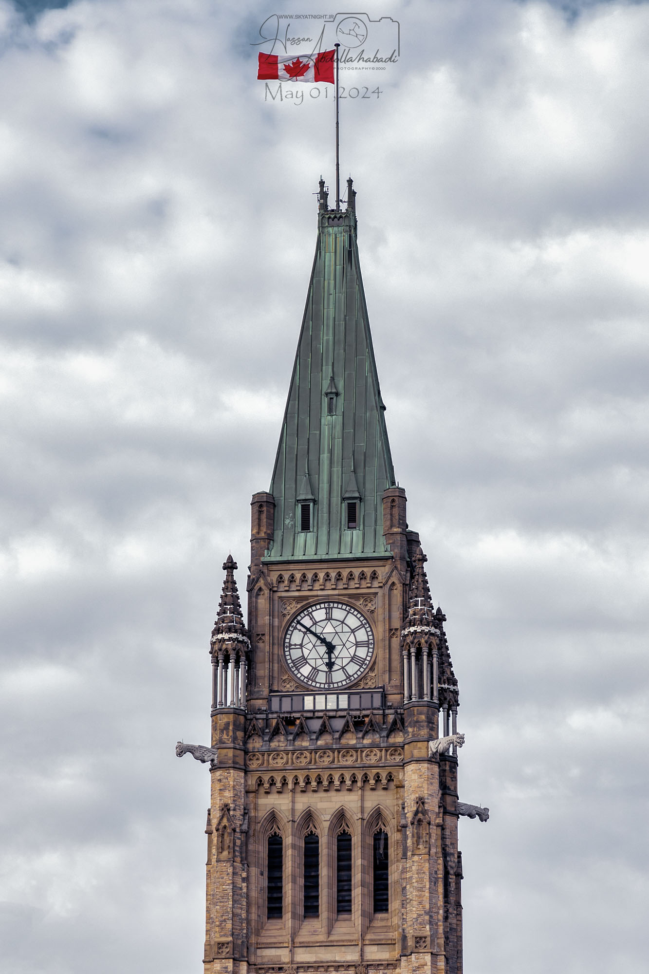
تپه پارلمان توسعه این منطقه که در قرن ۱۸ و اوایل قرن ۱۹ محل یک پایگاه نظامی بود، به یک منطقه دولتی در سال ۱۸۵۹ پس از انتخاب اتاوا توسط ملکه ویکتوریا به عنوان پایتخت استان کانادا آغاز شد. پس از چندین توسعه به ساختمانهای پارلمان و ادارات، و آتشسوزی در سال ۱۹۱۶ که بلوک مرکزی را ویران کرد، پارلمان هیل با تکمیل برج صلح در سال ۱۹۲۷ به شکل فعلی خود درآمد. در سال ۱۹۷۶، ساختمانهای پارلمان و محوطه پارلمان هیل به عنوان مکانهای تاریخی ملی کانادا تعیین شدند. از سال ۲۰۰۲، یک پروژه گسترده نوسازی و بازسازی ۳ میلیارد دلاری در سراسر ساختمانهای این منطقه در حال انجام است که انتظار میرود پس از سال ۲۰۲۸ تکمیل شود